Urban Planning Visualization: Transforming Ohio's Cityscapes
Understanding Urban Planning Visualization
Urban planning visualization is a powerful tool that is revolutionizing the way cities are designed and developed. By using advanced technologies such as 3D modeling, Geographic Information Systems (GIS), and virtual reality, urban planners can create detailed visual representations of cityscapes. These technologies allow stakeholders to better understand the potential impacts of planning decisions on the urban environment.
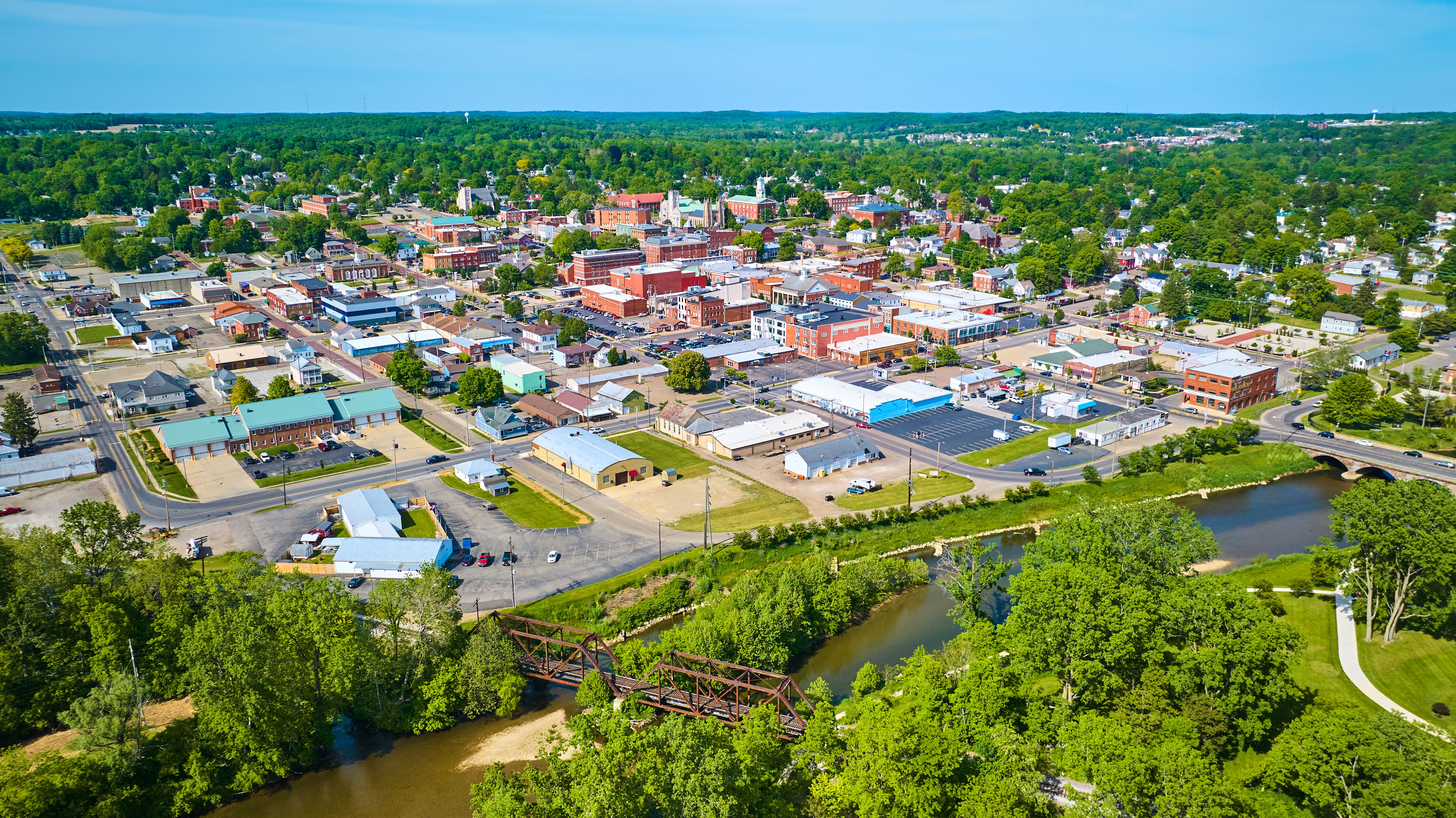
In Ohio, urban planning visualization is playing a crucial role in transforming cityscapes. From small towns to bustling cities, visualization techniques are being used to create more sustainable, efficient, and aesthetically pleasing urban environments.
The Benefits of Urban Planning Visualization
One of the primary benefits of urban planning visualization is its ability to enhance communication among stakeholders. Whether you're a city planner, architect, developer, or resident, visual tools provide a common language that facilitates clear and effective discussions. This helps to ensure that everyone involved in the planning process has a shared understanding of proposed developments and changes.
Visualization also supports better decision-making by providing a comprehensive view of potential outcomes. By simulating different scenarios, planners can assess the impact of various design choices on factors such as traffic flow, environmental sustainability, and community livability.
Innovative Technologies in Ohio's Urban Planning
Ohio's cities are leveraging cutting-edge technologies to enhance urban planning efforts. For example, Columbus has implemented GIS technology to map and analyze spatial data, helping planners make informed decisions about land use and infrastructure development.
Cincinnati, on the other hand, has embraced the use of virtual reality to create immersive experiences for stakeholders. This allows residents and decision-makers to explore proposed developments in a virtual environment, offering valuable insights into the project's potential impact on the community.

Case Studies: Successful Urban Planning Projects
Several Ohio cities have successfully utilized urban planning visualization to transform their landscapes. In Cleveland, 3D modeling was used to revitalize the waterfront area, creating a vibrant public space that attracts tourists and residents alike.
Similarly, Dayton has employed visualization techniques to reimagine its downtown district. By integrating green spaces and pedestrian-friendly pathways, the city has enhanced its appeal while promoting environmental sustainability.
The Future of Urban Planning Visualization in Ohio
As technology continues to advance, the potential for urban planning visualization in Ohio is vast. With tools like augmented reality (AR) and artificial intelligence (AI) on the horizon, planners will have even more sophisticated methods for designing cities that meet the needs of future generations.
Ohio's commitment to leveraging these innovative technologies ensures that its cities will remain at the forefront of urban development. As urban planning visualization evolves, it will continue to play a pivotal role in shaping Ohio's cityscapes for years to come.